457
Alsatia inferior
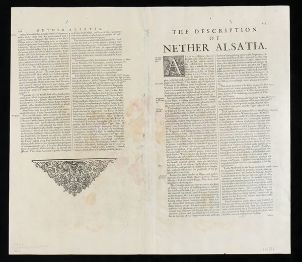
Etching and engraving, 36.2 x 43.5 cm (plate); 45.2 x 51 cm (sheet). Map of Alsace, a historical region of north-eastern France, published by Johannes Janssonius in Amsterdam.
Printed on laid paper, two sheets joined, English text on the verso. Fine contemporary colouring. Overall sheet in good condition, except for a few very small holes, some thinning of the paper and slight stains on the verso and along the central fold.
€ 200,00 / 300,00
Estimate
€ 100,00
Starting price
Unsold
Live auction 316
Old and Modern Prints, Drawings and Maps
Palazzo Caetani Lovatelli, thu 14 November 2024
SINGLE SESSION 14/11/2024 Hours 12:00


