452
Willem Janszoon Blaeu (1571 - 1638)
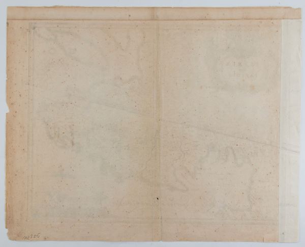
Istria olim Iapidia
Etching and engraving, 456 x 568 mm. Map of the territory of Istria based on the model of Giovanni Antonio Magini.
Copy printed on laid paper, with reconstructed left and upper margins. It has some tears, signs of foxing, browning and creasing. Usual editorial fold.
€ 250,00 / 500,00
Estimate
€ 160,00
Starting price
Unsold
Live auction 316
Old and Modern Prints, Drawings and Maps
Palazzo Caetani Lovatelli, thu 14 November 2024
SINGLE SESSION 14/11/2024 Hours 12:00


