511
Henri Abraham Chatelain (1684 - 1743)
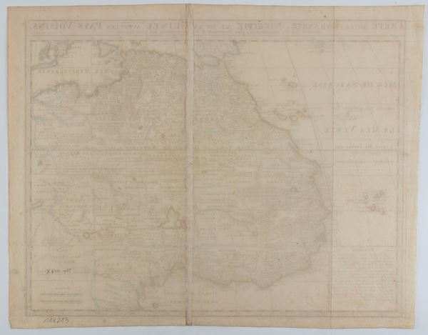
Carte de la Barbarie Nigritie et de la Guinee avec les Pays Voisins
Etching and engraving, 435 x 550 mm (sheet). Map of North-West Africa, based on De L'Isle's map, from "Atlas Historique".
Impression with beautiful hand coloring, printed on thin laid paper. In general in very good condition, except for two vertical folds, one horizontal and slight creases.
Live auction 316
Old and Modern Prints, Drawings and Maps
Palazzo Caetani Lovatelli, thu 14 November 2024
SINGLE SESSION 14/11/2024 Hours 12:00


