470
Jodocus Hondius (1563 - 1612)
Marchionatus Misniae una cum Voitlandia, Amsterdam, circa 1640
Etching and engraving, 525 x 625 mm. Map of Saxony, covering the region between Weimar, Karlsbad, Prague and Dresden, with its centre at Altenburg.
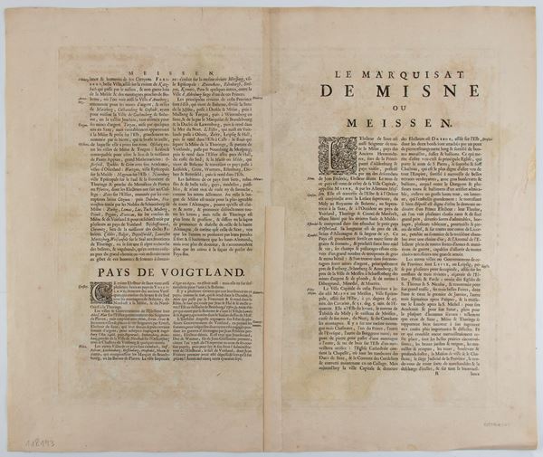
Printed on laid paper, with hand-colouring and French text on the verso. Restored sheet, with the usual central fold and some tears along the edge.
€ 150,00 / 300,00
Estimate
€ 100,00
Starting price
Unsold
Live auction 316
Old and Modern Prints, Drawings and Maps
Palazzo Caetani Lovatelli, thu 14 November 2024
SINGLE SESSION 14/11/2024 Hours 12:00


