444
Giovanni Antonio Magini (1555 - 1617)
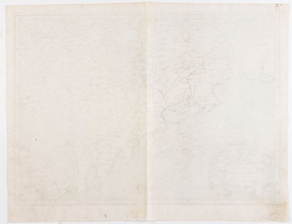
Liguria overo Riviera di Genova di Levante
Engraving and etching, 390 x 497 mm (sheet). First printed map of Liguria, in the 1st state of 2 (before publication in the atlas). Almagià, L'Italia di Giovanni Antonio Magini, pp. 23.
A fine example with light plate-tone, printed on laid paper. Sheet in excellent condition, except for the usual central fold.
Live auction 316
Old and Modern Prints, Drawings and Maps
Palazzo Caetani Lovatelli, thu 14 November 2024
SINGLE SESSION 14/11/2024 Hours 12:00


