507
Sebastian Münster (Ingelheim, 1488 - Basilea, 1552)
Taprobana Island (Sri Lanka), 1574
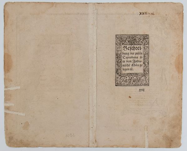
Woodcut, 322 x 392 mm (sheet). Map of Taprobana, the name by which the ancient Greeks identified the island of Sri Lanka, from the 1574 edition of "Cosmographia Universalis", published by Heinrich Petri.
Copy printed on thin laid paper. Sheet with some restored tears on the back, uniformly browned paper with scattered stains and usual central fold.
€ 250,00 / 500,00
Estimate
€ 180,00
Starting price
Unsold
Live auction 316
Old and Modern Prints, Drawings and Maps
Palazzo Caetani Lovatelli, thu 14 November 2024
SINGLE SESSION 14/11/2024 Hours 12:00


